Augmenting Camera Vision with Radar Sensors -
The convergence of technology and agriculture has given rise to innovative solutions that enhance farming practices. In recent years, the fusion of camera vision and radar sensors has emerged as a powerful combination for agricultural robotics. In this blog post, we will explore the benefits of augmenting camera vision with radar sensors in the realm of agriculture, revolutionising how we monitor crops, optimise yields, and improve overall farm efficiency.
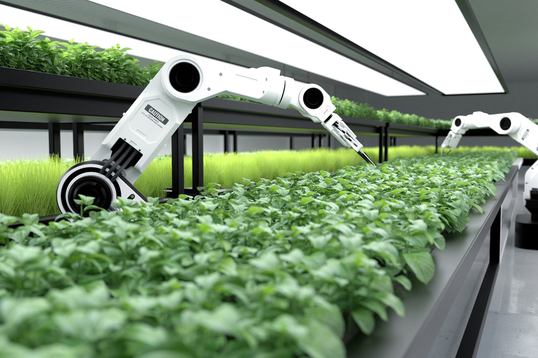
Understanding Camera Vision and Radar Sensors in Agriculture
Camera vision is a fundamental component of agricultural robotics, revolutionising how farmers monitor and analyse their crops, and for guiding the robot in the field (SLAM). With its ability to capture high-resolution images, camera vision provides valuable visual information about the environment in which the robot is operating. Camera is often the go-to sensor for robotic vision. They provide high resolution images, and with the advances in machine learning over the last decade, can provide the information which is needed for the driving of algorithms to make the right decisions.
However, Cameras do have their limitations. One of the primary limitations is their dependence on lighting conditions. Cameras heavily rely on visual cues and features to accurately perceive the environment and track their own movement. In low-light or poorly lit environments, cameras may struggle to capture clear images, resulting in reduced accuracy and reliability of SLAM algorithms. Additionally, cameras can be affected by factors such as reflections, shadows, and occlusions, which can introduce errors in the mapping and localisation process. Another limitation is their susceptibility to noise and distortion caused by motion blur or fast movements, which can hinder the precision of SLAM algorithms.
On the other hand, radar sensors bring a different dimension to agricultural robotics by offering capabilities that transcend visual limitations. These sensors rely on radio waves to detect and measure distances to objects, providing valuable data regardless of lighting conditions or environmental factors such as rain, fog, or dust.
Combining Camera and Radar-based vision is the best of both worlds. High resolution images from Cameras combined with the robust detections from Radar, provides the highest quality data gathering solution.
The Power of Data Fusion: Combining Camera Vision and Radar Sensors
Sensor fusion between Radar and Cameras brings numerous benefits and enhances the capabilities of perception systems. By combining the strengths of both Radar and Cameras, a more comprehensive understanding of the environment can be achieved. Radar excels at detecting and measuring distances to objects, even in adverse weather conditions or low visibility scenarios, where Cameras may struggle. It provides valuable information about object positions, velocities, and even the presence of obstacles beyond the line of sight. On the other hand, Cameras offer high-resolution visual data, enabling detailed object recognition, classification, and tracking. They provide rich colour and texture information, aiding in the identification of objects and their surrounding context. By fusing Radar and Camera data, a system can benefit from the robustness and long-range sensing capabilities of Radar, while leveraging the detailed visual information provided by Cameras. This sensor fusion enables improved object detection, accurate localisation, enhanced perception of the environment, and supports advanced applications such as autonomous driving, surveillance systems, and robotics in various industries.

How is sensor fusion is performed
Performing sensor fusion between Cameras and Radar involves several steps. Here's a high-level overview of the process:
- Data Acquisition: Gather data from both the Camera and Radar sensors simultaneously. Cameras capture visual information, while Radar sensors provide distance, velocity, and other relevant measurements.
- Calibration: Accurately calibrate the Cameras and Radar sensors to ensure their measurements align correctly in the same coordinate system. This step is essential for accurate fusion of the sensor data.
- Data Preprocessing: Preprocess the raw data from each sensor to improve data quality and compatibility. This may involve tasks such as image enhancement, noise reduction, Radar data filtering, and synchronising timestamps between the two sensor streams.
- Camera Object Detection and Tracking: Utilise computer vision techniques on the Camera data to detect and track objects of interest. This involves algorithms such as image segmentation, object recognition, and motion tracking.
- Radar Data Processing: Process the Radar data to extract relevant information about detected objects, such as position, velocity, and size. Apply signal processing techniques to filter out noise and enhance the Radar measurements.
- Sensor Fusion: Integrate the processed Camera and Radar data to create a unified representation of the environment. This typically involves aligning the data in a common coordinate system, and combining the complementary information provided by each sensor. Techniques such as Kalman filtering, particle filtering, or neural networks can be used to fuse the information and estimate object states accurately.
Conclusion
The marriage of Camera Vision and Radar Sensors in agricultural robotics opens up new horizons for robotic navigation. Augmenting Cameras with Radar is the best of both worlds. High resolution images from Cameras combined with the robust detections from Radar, provides the best data for making the most robust navigation decisions.